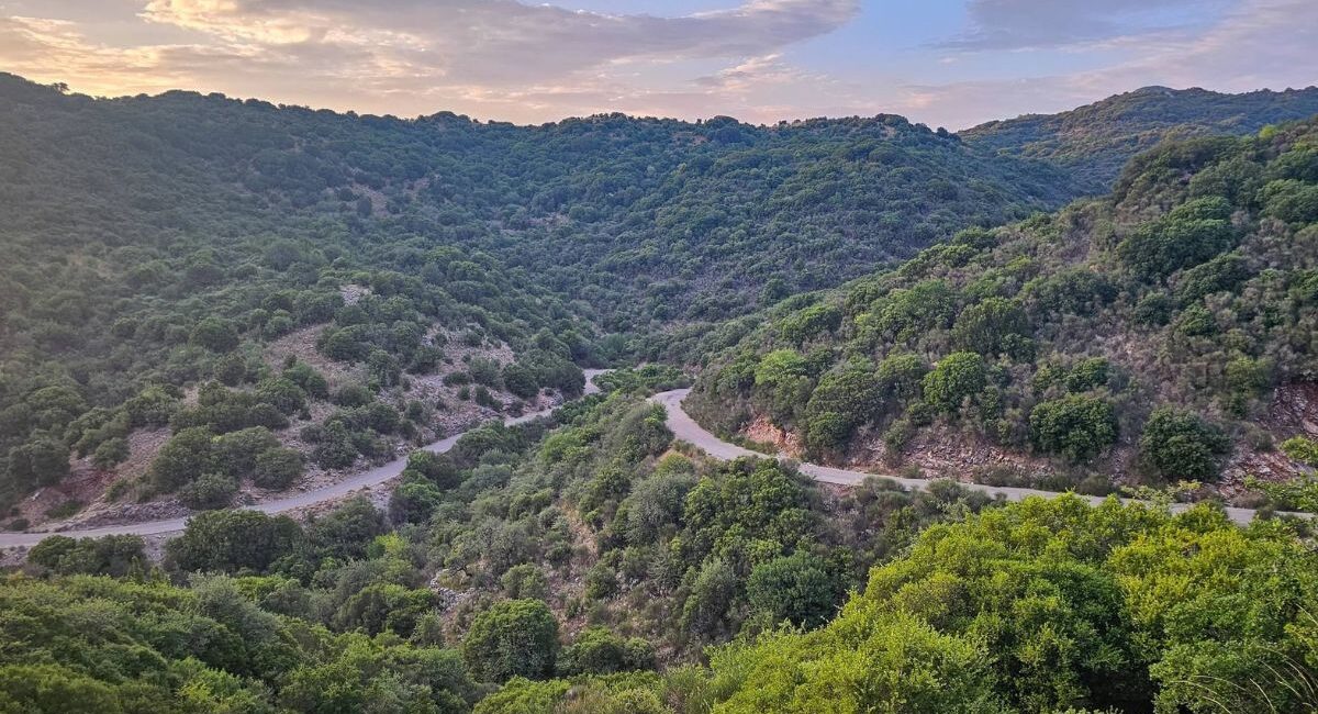
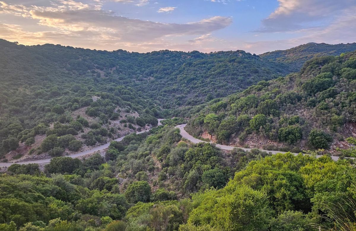
Rivers of the west — western Gortynia. 67 km, part of the Peloponnese Trails network.
Pan was the god of Arcadia’s shepherds, and the trail that carries his name keeps to the quiet western edge of the region, where the rivers do the talking. It starts at Tripotamia, where the Erymanthos and the Ladon run into the Alpheios, passes the site of ancient Heraia and the old spa of Loutra Iraias, then climbs through Paloumba, Vloggos and Zatouna to Palaiochori, above the Lousios gorge, a short walk from Dimitsana.
The route at a glance
- Main line · 58 km — Tripotamia → Chania → Kapellitsa → Pyrri → Lotis → Loutra Iraias → Parnassos → Paloumba → Raftis → Vloggos → Zatouna → Palaiochori. Around 2,900 m of climbing, mostly in the second half as the path leaves the river valleys for the mountain villages.
- Short spurs — to the site of ancient Heraia near Agios Ioannis, to Arachova, and down to Dimitsana.
- The link to Menalon — the trail ends between Dimitsana and Stemnitsa, on the Menalon Trail, so the two walks can be joined into one journey.
On the way: the iron bridge over the Erymanthos, the Ladon river and the springs of Loutra Iraias. Distances and GPX tracks: Peloponnese Trails — Pan Trail.
Walk it with the network
The paths are part of Peloponnese Trails, supported by the Region of Peloponnese. What the network adds is the part a map cannot: where to sleep in the villages along the way, luggage moved from door to door, a transfer when a day runs long, and someone local to call. Planning a walk, or bringing a group? Get in touch.