Mountain to sea — eastern Arcadia and Kynouria. 230 km of paths, part of the Peloponnese Trails network.
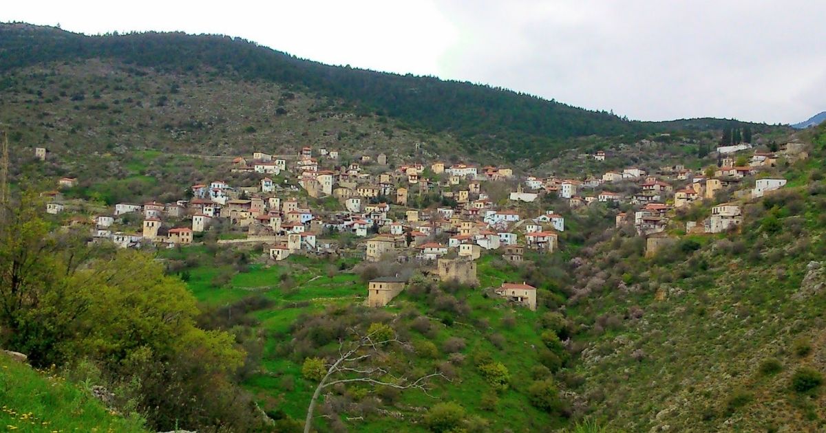
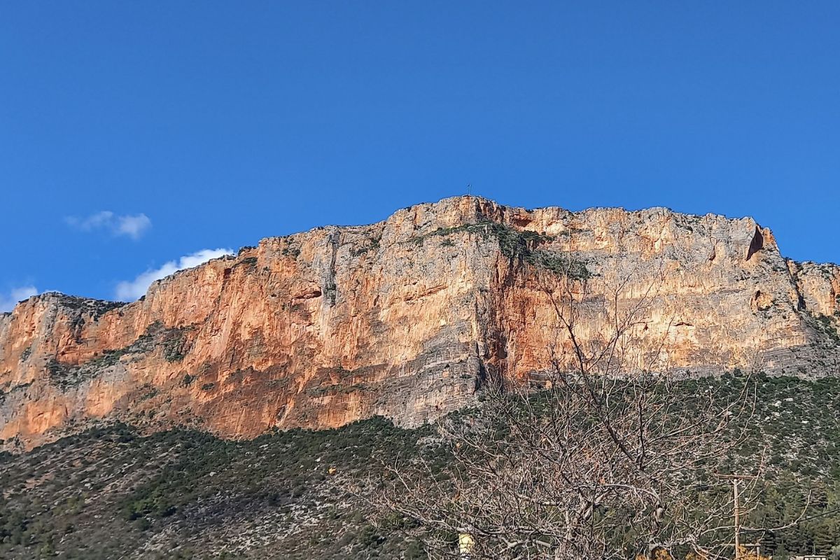
In Kastanitsa the chestnut woods come right down to the last houses, and the older people in the square still greet each other in Tsakonian, a living descendant of ancient Doric. Walk south from here and by the second or third evening you are standing in Leonidio under its red cliffs, with the Myrtoan Sea at the end of the street.
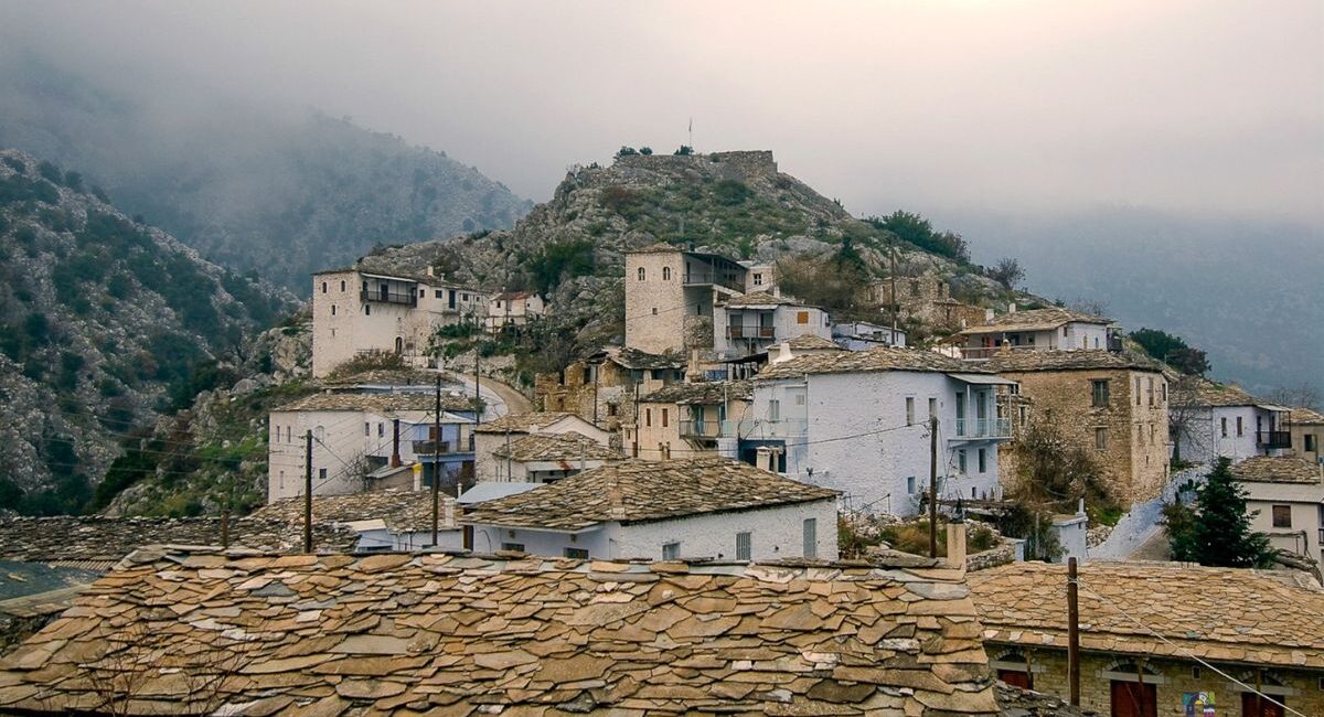
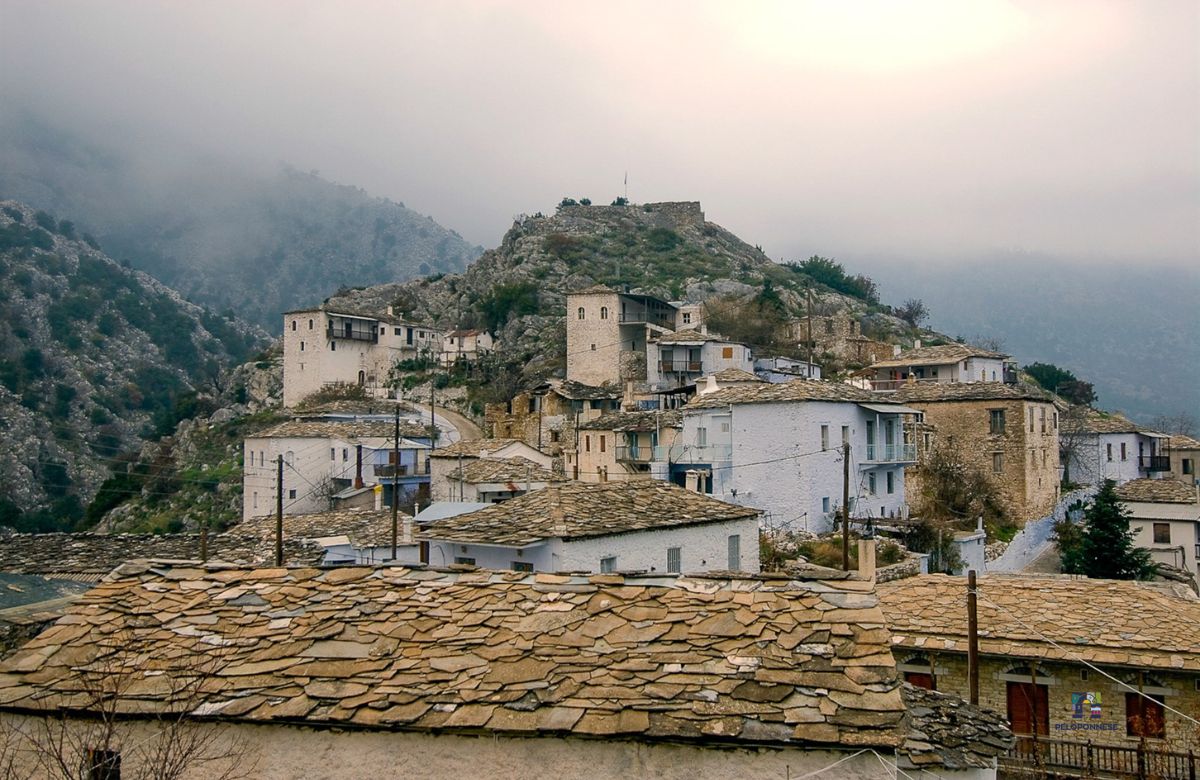
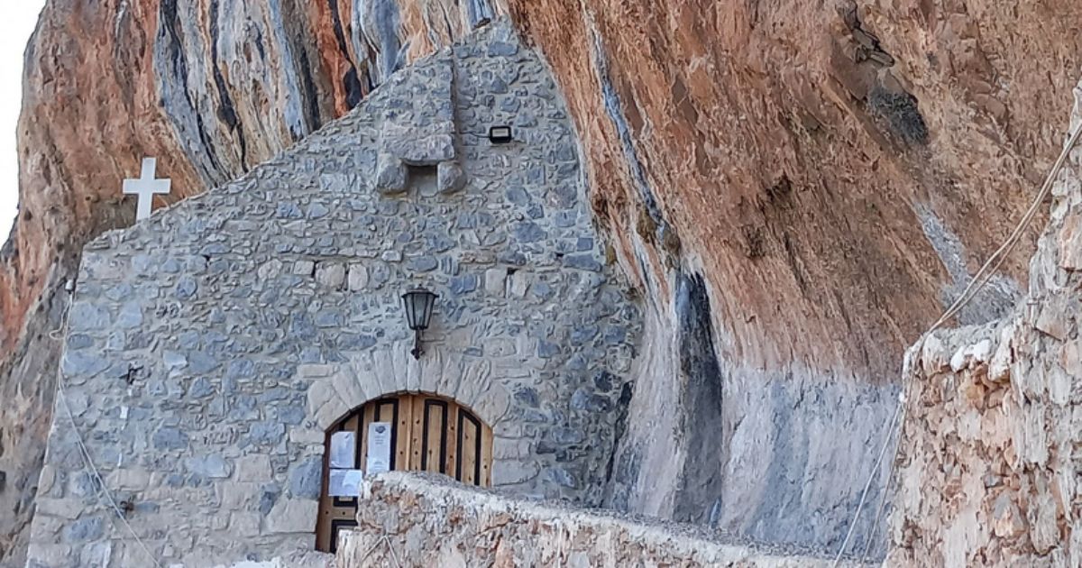
That is the line Mount Parnon draws: fir and chestnut forest around Agios Petros and Kastri, the Lepida Waterfalls, the stone tower-houses of Prastos, Kosmas on its high balcony, the Elona Monastery pinned to the rock above the Dafnon gorge, then Leonidio and the paths that run north above the coast to the Moustos lagoon and Astros. Kosmas is also reachable by e-bike for those who want the view without the full climb.
The network at a glance
- Mountain branch · 80 km — Astros → Agios Petros → Elatos → Kastri → Ano Doliana, with a northern leg along the coast from Kiveri and Xiropigado. Short spurs lead to the Loukou and Malevi monasteries.
- Coast and gorge branch · 81 km — Kosmas → Elona Monastery → Dafnon gorge → Leonidio → the Paliochora plateau above Tyros → Vrasiatis bridge → Moustos lagoon → Astros.
- Tsakonian link · 31 km — Kastanitsa → Prastos → Agios Vasileios → Kosmas. This is what joins the mountain villages to the descent towards Leonidio.
- Waterfall link · 17 km — Lepida Waterfalls → Platanos → Sitaina → Kastanitsa. A further 8 km path runs from Platanos to Charadros.
Distances and GPX tracks: Peloponnese Trails — Parnon Trail.
Mountain to sea in one line
Agios Petros → Lepida Waterfalls → Platanos → Sitaina → Kastanitsa → Prastos → Kosmas → Elona Monastery → Leonidio. This is the way we suggest stringing the sections together; day lengths depend on where you sleep, and we plan them with you.
Time it for early July and Leonidio hands you Melitzazz — four free days of music, the Tsakonian dialect and the town’s own protected-origin aubergine turned festival namesake. Read the story →
Walk it with the network
The paths are part of Peloponnese Trails, supported by the Region of Peloponnese. On the ground the trail is supported by the Tsakonian social cooperative A Chora Namou. What the network adds is the part a map cannot: where to sleep in each village, luggage moved from door to door, a transfer when a day runs long, and someone local to call. More walks in Arcadia: Hike. Planning a walk, or bringing a group? Get in touch.