The Essence of Karytaina
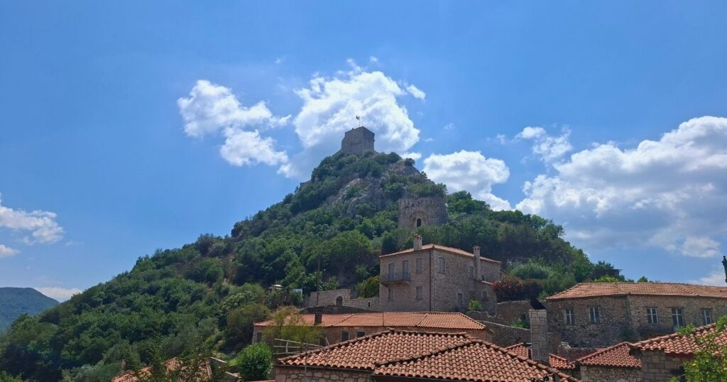
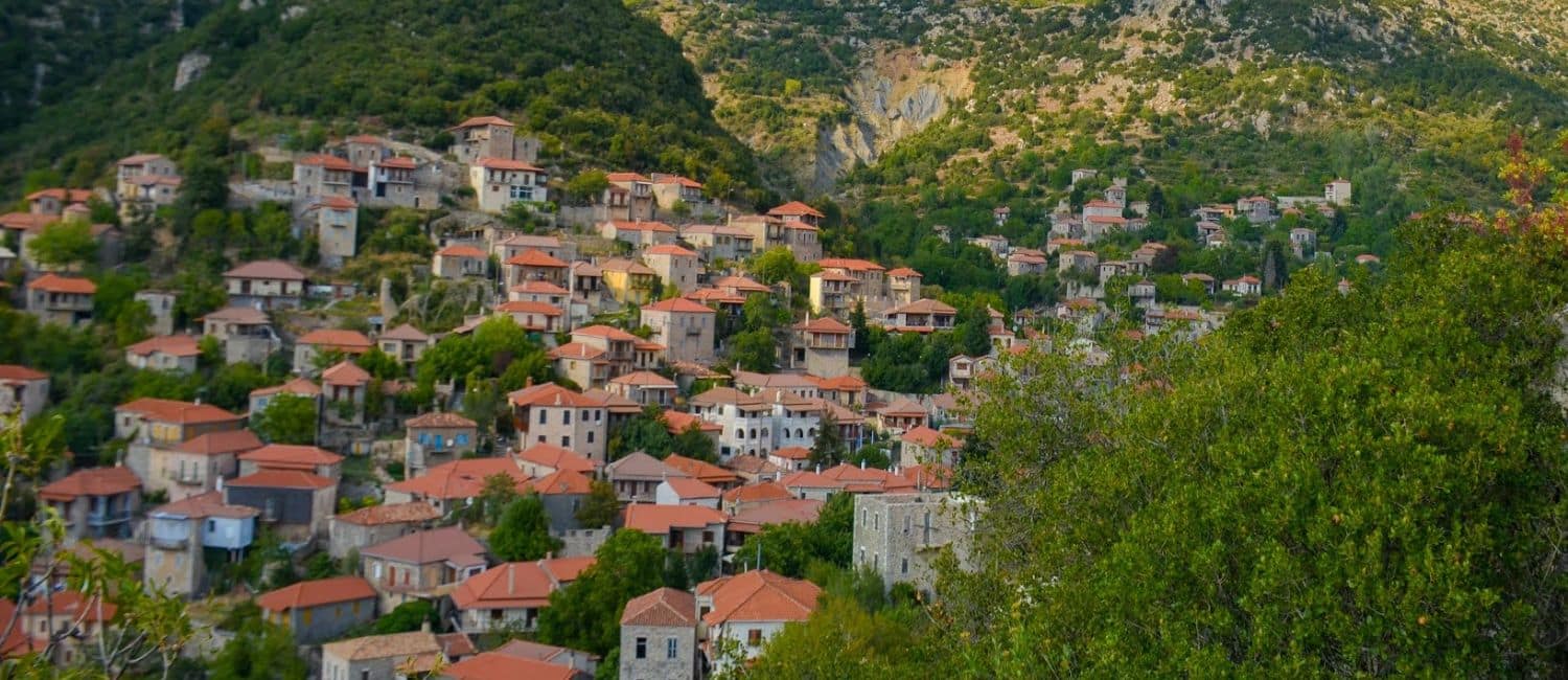
Karytaina is Arcadia’s “Toledo of Greece” — a comparison it has earned, not borrowed. Perched dramatically above a bend in the Alpheios River, its medieval bridge and castle once formed one of Greece’s most iconic views: the exact scene printed on the reverse of the 5,000-drachma banknote, a note so identified with the sight that the bridge itself became known as “the Bridge of the 5,000 Drachmas.” For travelers drawn to dramatic scenery and living history, Karytaina offers a rare kind of quiet grandeur, best absorbed slowly, from a terrace overlooking the valley.
Discover the Magic of Karytaina
- The Castle of Karytaina: Built in 1245 by the Frankish baron Geoffrey of Bruyères, this imposing fortress — its walls stretching over 110 metres — once guarded the routes into the Peloponnese. It is the castle above the village that gives Karytaina its nickname, “the Toledo of Greece.”
- The Medieval Bridge of the Alpheios: Known as “the Bridge of the 5,000 Drachmas” for its starring role on Greece’s own 5,000-drachma banknote, this 50-metre stone bridge spans the river on five arches. Built in the same era as the castle and restored by a Byzantine lord in the 15th century, it remains one of the oldest working bridges in the Peloponnese.
- The Church of the Life-Giving Spring: A 15th-century church with a distinctive bell tower, built over the remains of an even older 14th-century church — one of several Byzantine churches that give Karytaina its layered, timeless character.
- Echoes of 1821: Karytaina was the site of a decisive battle on 27 March 1821, among the first clashes of the Greek Revolution, earning the village the name “Bastion of 1821.” Theodoros Kolokotronis later repaired and garrisoned the castle here, using it as a stronghold against Egyptian forces.
The Surrounding Landscape
Karytaina sits at the edge of the Lousios Gorge, often called the “Mount Athos of the Peloponnese” for the cluster of monasteries clinging to its cliffs. It is also a crossroads of the Arcadia Trail: one branch climbs from here to the Sanctuary of Zeus on Mount Lykaion and on to Vasta and Isaris, another runs north to Stemnitsa, where the certified Menalon Trail begins.
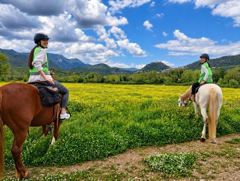
Karytaina’s own Stefi’s Equestrian Tours, based right beneath the castle bridge, offers horseback rides along the Alpheios valley — one of the few ways left to experience this landscape at the unhurried pace it was built for. It’s also where our own slow journey, The Castle and the Old Line, begins: four days on horseback and on foot, tracing the two ways of moving that the car made obsolete, from Karytaina’s castle to Leontari and the silent tunnels of Arcadia’s old railway.
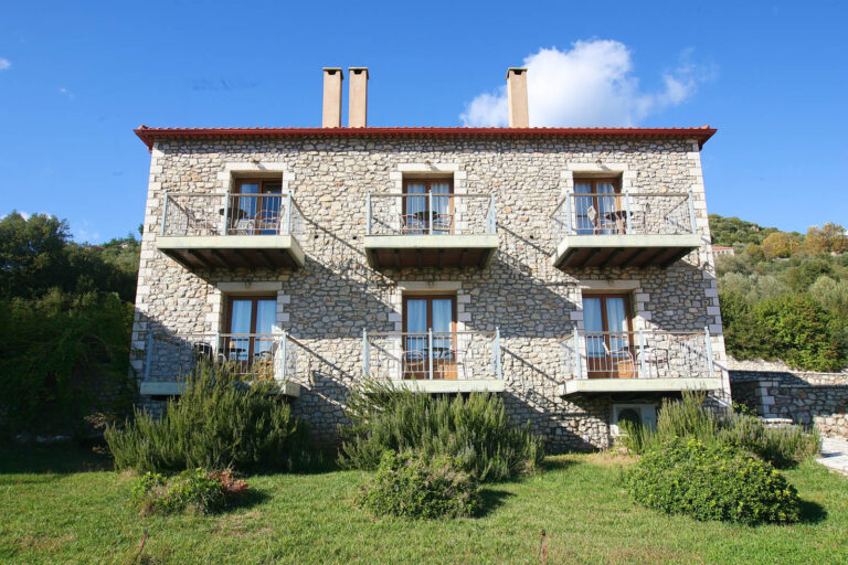
Discover our members in Karytaina — beneath the medieval castle, in the Alpheios valley.
Good to know
How to reach Karytaina
- By car: Karytaina is easily approached by car, with good roads connecting it to the rest of Arcadia.
- From Athens Airport: about 210 km, roughly 2h30 via the A7/E65 motorway toward Tripoli/Megalopoli.
- From Tripoli: about 55 km, roughly an hour through the central Peloponnese mountains.
- From Megalopoli: about 20 km, roughly 25 minutes.
- From Kalamata Airport: about 70 km, roughly 1h10 via Megalopoli.
- By local bus: KTEL Arkadias runs regional services from Tripoli — check current timetables at ktelarkadias.gr before you travel.
- By private transfer: if you’d rather not drive yourself, private transfers can take you around Arcadia at your own pace — ideal for combining Karytaina with other villages, wineries and trailheads in a single day.
- Getting around: park at the edge of the village — the historic core beneath the castle is best explored on foot, along steep, narrow stone lanes.